
Public Project
Line Across A Nation
Summary
Line Across a Nation is an ongoing documentary photography project by Carl Corey, exploring American cultural identity along U.S. Route 20—the longest road in the country. Through images and stories captured across diverse towns, landscapes, and communities, the project documents how everyday places reflect the evolving narrative of the American experience. https://substack.com/@carlcoreyphotographer
In America, the road is mythic: a symbol of freedom, opportunity, and self-determination. But it is also where we see the limits of those ideals, mapped out mile by mile. It serves as evidence of how society organizes itself, what it preserves, what it abandons, and what it memorializes. It reflects both connection and division. The road links communities, but it also passes them by. It carries wealth and neglect in the same direction. Alongside its curves and shoulders, we see the layered geography of class, race, industry, faith, ambition, and decline.
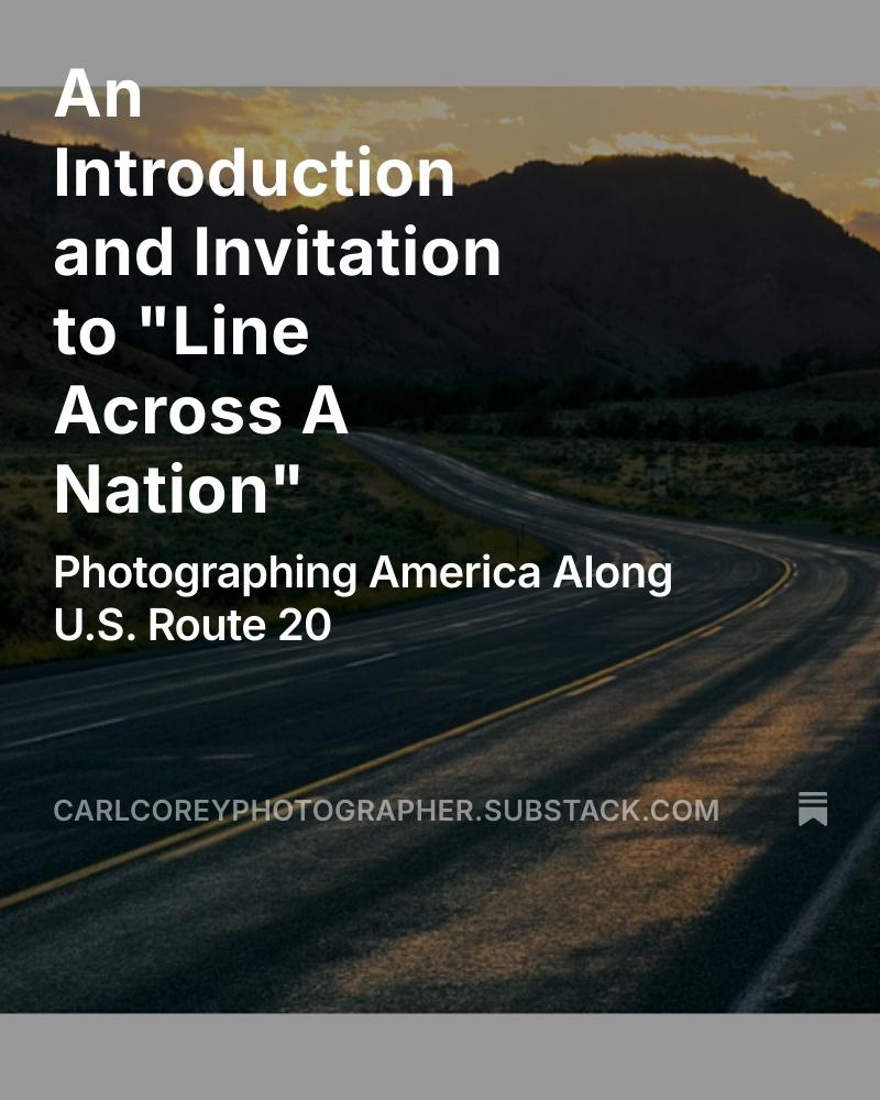
America is too vast to capture in a single frame—but you can with a single road. Over the coming months, I’ll be documenting life along U.S. Route 20, the longest continuous road in the United States. It runs more than 3,300 miles, from Boston, Massachusetts to Newport, Oregon, cutting through the heart of the country and connecting cities, small towns, and forgotten stretches of rural life. I’m calling this project “The Line Across a Nation.” It’s not just a road trip—it’s a photographic study of the American cultural landscape, using Route 20 as both a literal journey and a metaphorical spine. I’m interested in the spaces in between: bold statements, quiet places, the overlooked.
What I’m Documenting
I ’m looking for the unspectacular moments and vernacular spaces that often go unnoticed but say so much. Small-town identity and what survives after the factories close Architecture and landscape that reflect how we live, and what we value Visual traces of change—economic, cultural, environmental The contradictions of the “American Dream” seen from the ground upWhy Route 20?
Unlike the interstate, Route 20 is slow. It takes you through the places most people fly over or bypass entirely. It’s where the promise and the fragility of American life meet. It passes through farmlands, rustbelt towns, tribal nations, tech corridors, and mountain passes. It is diverse. It is complex. It is us.What to Expect
This Substack will serve as a visual journal for the project. Subscribers will receive:- Photographs from the road
- Notes on process, place, and observation
- Reflections on what the landscape reveals—and what it hides
- Occasional deep-dives into specific images, cultural themes, or roadside artifacts
Please subscribe free or paid to follow along as I map out the story of a nation—one mile at a time.
https://substack.com/@carlcoreyphotographer
324