Public Project
The Oil/Tar Sands - Peace River
When people think of the tar sands, they think of the draglines and pits of Fort McMurray.
The Tar sands spread across Northern Alberta, encompassing agricultural and wilderness areas.
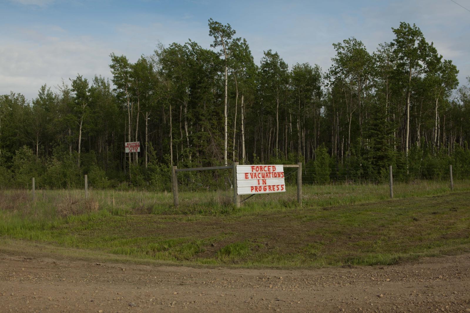
The Three Creeks area in the Peace River country is an agricultural area where the residents are becoming ill and the wildlife is leaving. It is all due to the fast-expanding CHOPS (cold heavy oil production with oil) production in the area.
Residents are leaving their farms as the emissions are making them too ill to work while the animals, wild or domestic, are not reproducing and if they do, their offspring are being born with defects and calves take longer to grow to the desired weight for the market, costing the farmer too many dollars and cents to stay competitive.
Other residents have had to leave their homes or farms as the emissions, causing headaches, memory loss and vomiting making it too hard to live in their land.
2,817


