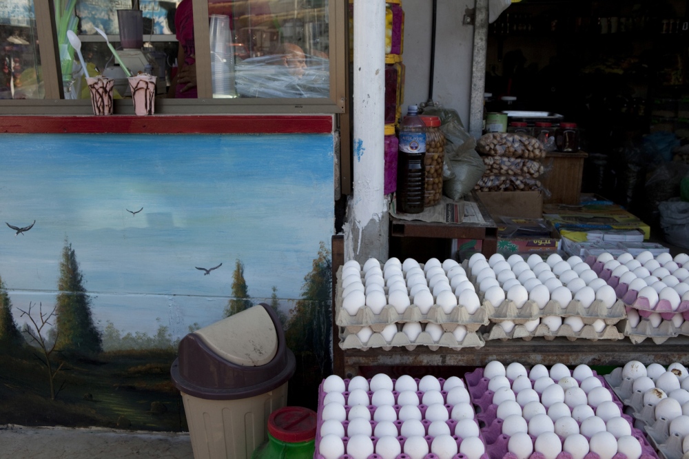
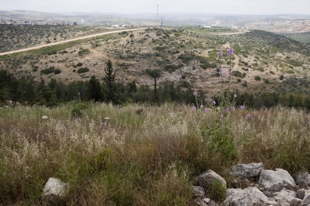
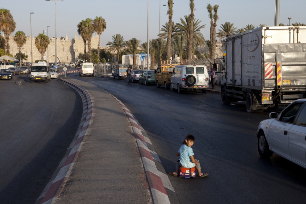
An ongoing photography project documenting the 313 km long Green Line "“ the "˜invisible border' between Israel and Palestine. This projectis a first "“ despite the fact it has been in the headlines for the last 40 years, no one has photographed along its entire length. The Line has been intentionally erased from Israeli maps since 67"², has become invisible on the ground, and is thought of as something of an anachronism by Israelis though remains central to the international community. The work reveals surprising, surreal and sometimes mundane nature of the border: from Jerusalem's city streets to cave dwellers in the Negev desert, crossing motorways, fields, villages and barbecue spots.
Project Statement:In 1949 the Israeli General Moshe Dayan and Jordanian Colonel Ahmed Sudki El Jundi signed a British Mandate-era map marked with a green pencil line, delineating the Israeli and Jordanian armistice positions, which became the de-facto border, from the northern Jordan valley to the Judean desert.
After the 1967 war when Israel overran the West Bank and began its occupation, Israeli Deputy Prime Minister Yigal Alon issued an order to erase the Green Line from all maps. Since then the Line has become an anachronism, and now runs criss-crossed by the barrier across motorways, through fields, villages, and Jerusalem's streets.
The Green Line has been intentionally lost in the landscape, and the construction of the barrier has further blurred the location of the border for Israel's citizens. Few Israelis who cross the Green Line in their daily life know of its precise location. Absurd and mundane activities take place every day on the Green Line: people barbecue, go jogging, and shop without any knowledge of the significance of where they are.
Nevertheless, the Green Line remains the legal reference for the international community, has been the foundation of all peace negotiations for 20 years, and marks the limits of Israeli civil and military law (meaning neighbouring Palestinian shopkeepers, holding green Palestinian or Blue Israeli ID's, fall under different legal systems).
Today, over its 313 km length there is barely any material evidence of its existence, the Green Line exists more in the mind rather than physical reality.
My aim is to create a body of work that will be the first of its kind. From remote landscapes to infrastructure: houses, roads, bus stops, children's playgrounds, military posts and parking lots; portraits of Israelis and Palestinians who live and work on the Green Line "“ farmers, settlers and suburbanites, shopkeepers and soldiers. In each image the Green Line appears: either in the view, or the viewers' position.
As an Israeli, this project is important to me - the images invite the audience to search the Green Line, and become familiar with the exact nature of one of the world's most important, complex issues - the details of which are, paradoxically, unknown.
Each photograph is supplemented with geo-tagging information "“ a precise recording of its exact longitude, latitude and compass bearing, allowing each image to be re-connected to both contemporary, and the original Green Line maps.


