Public Project
Confine di [S]stato | State border
Autumn 1947.
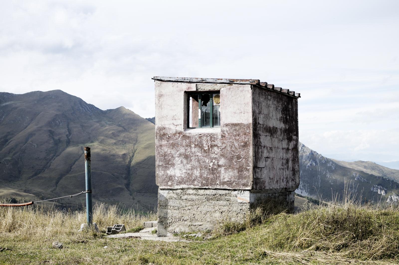
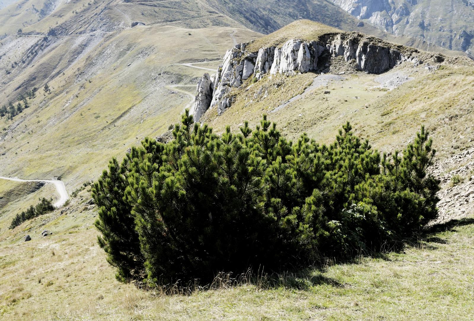
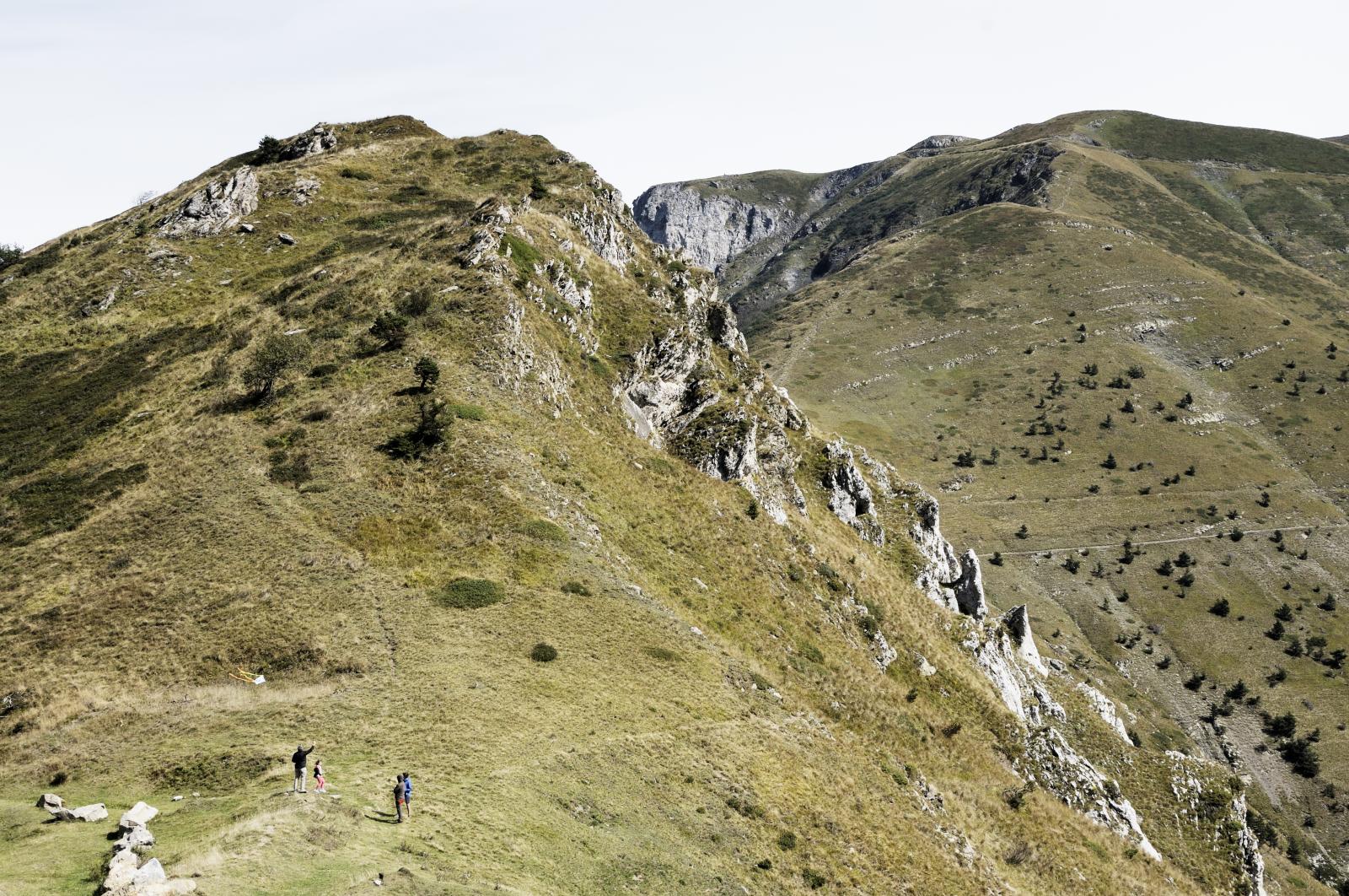
After months of intense negotiations, the border between the Italian and the French territories in this small corner of Europe was redrawn and finally established: since then, the ‘high lands’ lying within the vast mountain area of the Colle di Tenda have been crossed by a nothing more than imaginary line, at time feeble and only recognisable by solitary milestones, traced by the hand of the man on a territory that, in spite of everything, preserves intact its wild and enchanted deep spirit, ‘drawn’ by an extremely generous nature over a very long time. This is the most striking aspect to those who decide to set out for a walk on this section of the Maritime Alps: you will gaze at a space made of rocks and air, suspended among countless ridges, deep valleys, caves and peaks that really look as if they were grabbing on to the cobalt-blue sky on a bright sunny day. The observer can enjoy a 360° view without finding any obstacle, in a visual ‘embrace’ setting things right and acknowledging the role of nature, finally making the man’s action appear – with his misleading desire of control and delimitation – as a slight hitch intended not to last.
2,628
![Confine di [S]stato | State border by Luca Prestia](/v2-images/v_noframe.500.png)


